

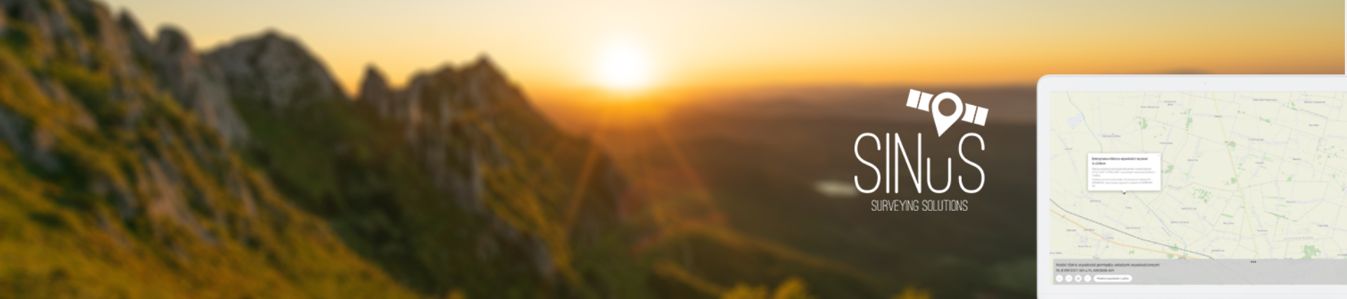
Sinus is a geodesy company that performs advanced surveying and engineering measurements. It also deals with GIS/CAD visualization analysis and scientific expertise.
The client is involved in the geodesy industry and wanted to create a tool that would serve as a sample of its services.
The business goal of the project was to disseminate a simple tool to attract potential customers.
Creating a tool to facilitate the work of geodesists.
The scope of the work was analysis of the algorithm, UX/UI, and development.
We created an application that deals with the interpolation of the value of the height difference between the PL-EVRF2007-NH and PL-KRON86-NH (dH) elevation systems at any point in the model using bilinear interpolation formulas.
The geodesist can upload the file containing the measurements taken, which will create a visual representation of the data. Each point is given in both standards.
If the user took measurements in the PL-EVRF2007-NH standard, the application allows him to export the results to the PL-KRON86-NH (dH) standard.
React technology, integration with OpenStreet, PHP (Symfony framework), MySQL database

